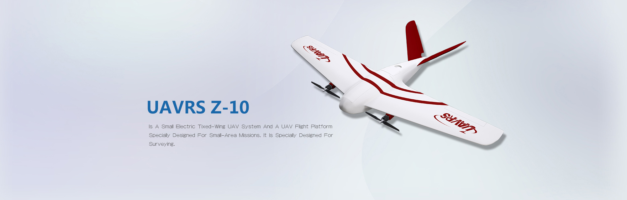
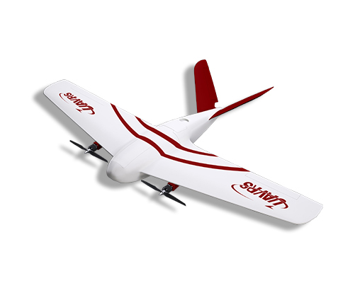
UAVRS Z-10 is a small electric fixed-wing UAV system and a UAV flight platform specially designed for small-area missions. It is specially designed for surveying, mapping and aerial photogrammetry, and is widely used in disaster emergency mapping, basic surveying and mapping, territorial planning, geographic and national condition monitoring, highway, railway, mine, water conservancy, electric power and other large infrastructure projects, as well as agriculture, forestry, environmental protection and other fields.

MFM (Micron high-temperature resistant fiber material) is used to make it excellent rigidity and toughness, easy to maintain and shatter-proof.

It is equipped with high-precision difference system and has high operation precision.

Modular, easy to disassemble and assemble without tools

Take-off by throwing and landing by parachute, with a lower flight site requirement
| Takeoff Weight | 5.5kg | Wind Resistance | Grade 5 |
| Loading Capacity | 700g | Operating Temperature | -20~55℃ |
| Maximum Endurance | 90min | Cruising Speed wit Typical Load | 60Km/h |
| Control Radius | 10km | Maximum Flight Speed | 100Km/h |
| Takeoff and Landing Mode | Take-off by Throwing and Landing by Parachute |
Image Resolution | better than 3cm |
| Maximum Flight Altitude | 2kg | Maximum Take-off Weight | 10Km²/ sortie |