Land Surveying and Mapping
Technical Thinking
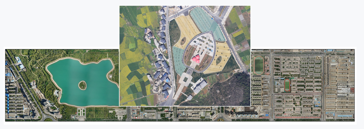
Based on satellite, aviation and other multi-source remote sensing acquisition platforms, multi-spectral/hyperspectral image data with different resolutions and point cloud data are acquired. Through professional data processing means, digital elevation model (DEM), digital orthophoto map (DOM), digital line map (DLG) are produced to assist spatial planning of territorial resources and other applications.
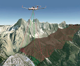
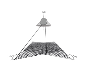
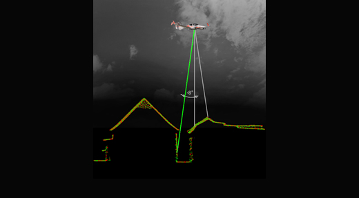
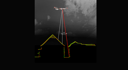
Lidar
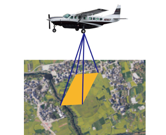
Digital Image
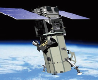
Satellite Data